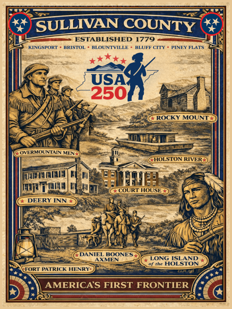
Ninth in a 12-part monthly series to commemorate Sullivan County’s role in the 250th birthday of the United States of America
September 2026 | 9 of 12
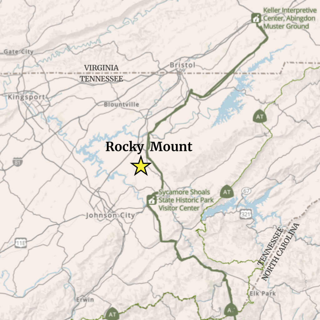
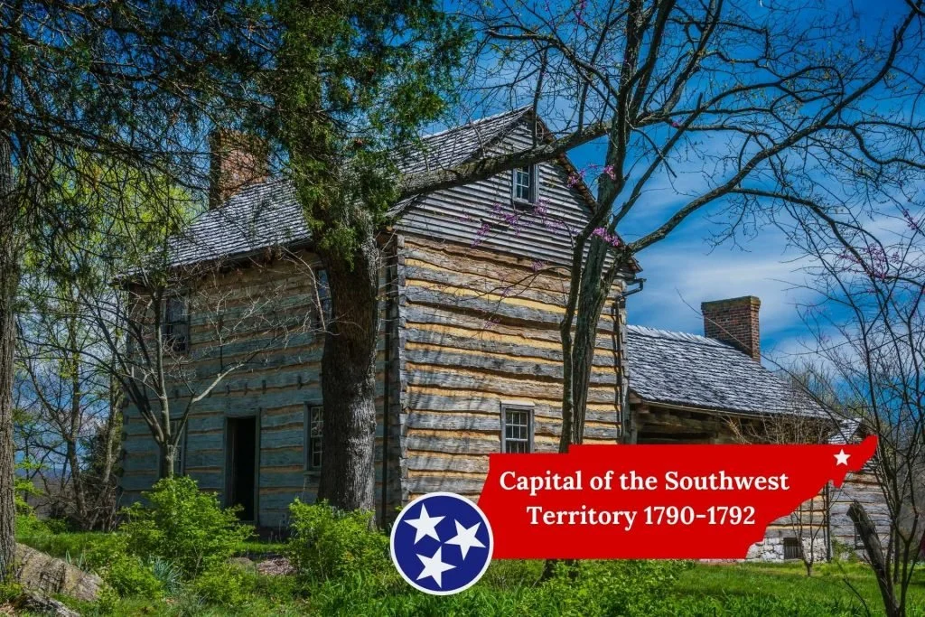
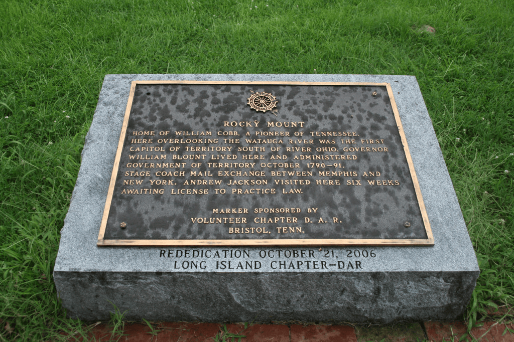
When the Territory of the United States South of the River Ohio was organized in 1790, federal authority needed a place where government could operate in practical terms. That place became Rocky Mount—the property of early settler William Cobb—near present-day Piney Flats. Governor William Blount stayed with the Cobb family, and Rocky Mount served as the territory’s first working headquarters and temporary capital from 1790 until the government moved to Knoxville in 1792. Although Rocky Mount is in Sullivan County today, Blount himself identified Cobb’s home as being in Washington County in 1790.
Rocky Mount’s importance did not begin with territorial status. Its advantage was a central location between the two settlements that shaped the region. To the north, the Holston settlements centered largely in today’s Sullivan and Hawkins Counties, whose residents considered themselves Virginians until the boundary survey of 1779 established that they were within North Carolina. Farther south were the Watauga and Nolichucky settlements that helped populate today’s Washington, Carter, Greene, and Unicoi Counties.
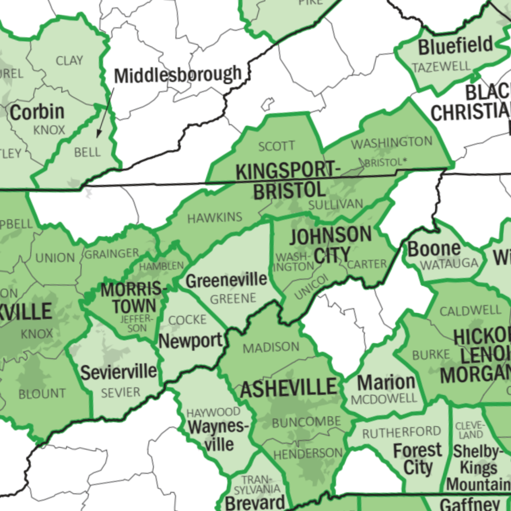
Interestingly, a geographic echo divides the region to this very day. The federally defined Kingsport-Bristol metropolitan area includes Sullivan and Hawkins Counties (Holston settlements), the Johnson City metropolitan area includes Washington, Carter, and Unicoi Counties (Watauga settlements), and the Greeneville micropolitan area includes Greene County (Nolichucky settlements). These modern statistical boundaries were created for entirely different reasons, but they reflect a regional geography that was recognized more than two centuries ago.
Rocky Mount was also accessible by the early road network connecting Southwest Virginia with the Overmountain settlements. In 1780, Virginia militia traveling from Abingdon crossed the South Holston at Choate’s Ford, near today’s Bluff City, on their way to the gathering at Sycamore Shoals (Elizabethton). National Park Service records place Overmountain troops at or near Rocky Mount during that march. Long before Blount arrived, the property was therefore familiar territory along one of the principal approaches into the upper Tennessee Valley.
That made Rocky Mount a logical place for Blount to begin governing. Today’s Northeast Tennessee already contained most of the territory’s population and functioning institutions developed during the North Carolina and State of Franklin periods. Jonesborough and Greeneville were established centers of government; Hawkins County had established its courthouse at what became Rogersville; and Sullivan County’s court had been meeting at locations including Moses Looney’s fort and other homes since the county was organized in 1780. Blount therefore did not have to create government from scratch.
From Rocky Mount, Blount issued commissions, organized territorial officials and militia, conducted correspondence, and began the census work that would help establish the territory’s progress toward statehood. His headquarters was not grand, but it was effective. In a 1790 letter, Blount approvingly described having a room with glass windows and a fireplace from which to conduct his work.
Native relations were among Blount’s most important responsibilities. In addition to serving as governor, President George Washington appointed him Superintendent of Indian Affairs for the Southern Department. Much of the planning and correspondence surrounding Cherokee relations occurred while Blount was headquartered at Rocky Mount. The major negotiations that produced the 1791 Treaty of Holston, however, took place farther downstream at White’s Fort, on the site of present-day Knoxville.
Rocky Mount’s governmental role ended when Blount transferred the territorial capital to Knoxville in 1792. As population and political activity moved southwestward and westward, Knoxville became the more important center of territorial government. Sullivan County’s establishment of Blountville as its permanent county seat in 1795 reflected another stage in the development of permanent governmental institutions across the region.
Yet Rocky Mount’s contribution was foundational. For a critical period, this property was where the new federal territorial government became a functioning reality. Today the state historic site preserves and interprets that story on the original Rocky Mount property. One important nuance is that research has dated the present main house to the late 1820s, rather than to Blount’s residence there in 1790–92.
As the nation celebrates its 250th anniversary, Rocky Mount reminds us that nation-building often happens in unassuming places, through steady decisions that quietly shape the future.
Next in the series: October 2026 | 10 of 12 — Why Blountville Is Named Blountville: Power, Place, and Permanencere Territorial Government Took Root


Leave a Reply